
RF
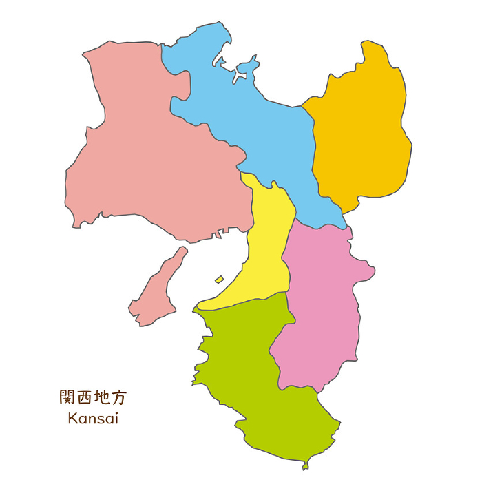
Map of prefectures in Kansai and Kansai region, colorful and bright
S
0.4 MB
640 x 640 px
5.4 x 5.4 cm
$ 3.00
M
5.5 MB
2400 x 2400 px
20.3 x 20.3 cm
$ 10.00
L
34.3 MB
6000 x 6000 px
50.8 x 50.8 cm
$ 20.00
L
34.3 MB
6000 x 6000 px
50.8 x 50.8 cm
$ 20.00
XL
34.3 MB
6000 x 6000 px
50.8 x 50.8 cm
$ 30.00
EPS
$ 30.00
More
Top Categories